

Could there be a deeper reason for this push?
SEND IN THE DRONES
In the wake of more hostile climate conditions in near future, it has been promoted that swarms of drones could soon replace helicopters and planes, providing emergency crews with more rapid and accurate data on the coming threats of lightning-sparked bushfires or flash floods heading for homes.
The most recent media calls, setting the stage in the minds of the masses, follow a January 2022 announcement by Australian National University detailing a new partnership to bring this idea to life:

“By working with governments, fire services, and companies like Carbonix, we are taking a leading role in championing appropriate new technology that can provide a way forward for Australia in managing bushfires into the 21st century.”
The ANU-Optus Bushfire Research Centre of Excellence, in collaboration with the ACT Rural Fire Service (RFS), launched a partnership with drone manufacturer, Carbonix.
The company will provide ANU and ACT RFS with autonomous “scout drones to assist with research into effective methods of early detection of bushfire ignitions“.
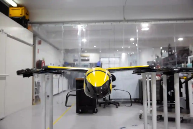
Photo: AJU
It seems now they have made some progress.
Both Julie Bishop, Former Foreign Affairs Minister and Chancellor of Australian National University, and Brian Schmidt, Vice-Chancellor of Australian National University, have been invited to Davos 2023.
Just keeping that in mind.
Dario Valenza, Chief Technology Officer at Carbonix, says thermal cameras on the drones could quickly verify fires started by lightning in remote regions, helping to direct fire crews to the scene “with only a few per cent of the fuel” used by conventional aircraft.
“The advantages are really being able to get information that you can use to make decisions and interventions,” says Valenza.
“There’s now an industry that didn’t exist before, combining autopilots, sensors, batteries and ultra-light carbon fibre frames.”
Drones were identified in the bushfire royal commission and the NSW bushfire and flood inquiries as providing the potential for much greater use in the future to help ‘identify and prepare for hazards’.
Drone operators will need to submit flight plans to the Civil Aviation Safety Authority for approval to ensure they could be used “on a larger scale during future fire seasons”, the NSW fire inquiry said.
The drones could also be equipped in the future with “sniffers” to detect bushfire smoke, methane leakages and other chemicals. Police and military will also be future customers because of their surveillance capabilities. Immediately, for long-time readers, this raises some red flags.
Many of you have already expressed concerns about the undocumented use of drones during the infamous 2019-2020 bushfire season — an event that raised many questions at the time.
Many of you were on-the-ground in these regions and discovered the website because of this piece.
What would happen now if drones were approved? More capabilities to control these conditions?
Or could this be another node in the ever-growing surveillance apparatus of the state?
MERGING WITH WILDLIFE SURVEILLANCE?
Outside of geoengineering concerns, we must remember that drones have become one of the most sophisticated surveillance tools around, used by governments and authorities to track and wage battle.
One thing that is interesting to note is the increase in monitoring since the 2019-2020 bushfires.
It was announced last year that AI and “an army of new sensor cameras” will be used to ‘track the recovery of animals impacted by bushfires’, in one of the most extensive programs undertaken:
With this move, more than 600 AI-powered cameras have been installed across the outback to ‘track the movements of Australia’s bushfire-affected wildlife’.
The program, called An Eye on Recovery, is led by World Wide Fund For Nature Australia (WWF) and Conservation International, with a US $1 million grant from Google.
Sensors everywhere, and drones to help ‘combat conditions’.
Is anyone else getting ‘Big Brother’ feels from these developments?
Let’s also not forget that these are just tools of a well-oiled army operation that controls the bush.
The Regional Force Surveillance Group comprises of the Army’s three Regional Force Surveillance Units, or RFSUs, established in 2018 to patrol the lands surrounding us.

Photo: ADF
According to their website, the surveillance group covers an area of operations which encompasses approximately 52 per cent of the Australian continent.
For those thinking the bush is any more safer than the cities, you may be surprised when you now look at the trees around you or hear the patrolling groups over the mountains.
Which brings us back to the Agenda 2030 vision.
The plan is to have everyone in rural areas moved. It’s very similar to the predictive programming in the movie, Hunger Games. The great Australian land grab and high-speed rail agenda are testament to this.
Survivors will be resettled into 25% of the land, and zoned into highly-condensed smart cities, described by the United Nations as ‘Sustainable Communities’.
This is all to “preserve biodiversity”, of course.
From geoengineering, to mass surveillance, these drones could be used in very interesting and/or nefarious ways if someone chose to use them for those purposes.
But no-one would do that, would they?
KEEP UP-TO-DATE
For more TOTT News:
Facebook — Facebook.com/TOTTNews
YouTube — YouTube.com/TOTTNews
Instagram — Instagram.com/TOTTNews
Twitter — Twitter.com/EthanTOTT
Bitchute — Bitchute.com/TOTTNews
Gab — Gab.com/TOTTNews

So fires are not started deliberately? Why no fires these last couple of years?, oh that’s right we have floods this year. Is geo engineering taking place in selected areas to move people? NT flooding, not related to the growth of mining and cotton farms? Never ceases to amaze me how they come up with so many excuses and cover ups to push the agenda. Privacy is no longer possible with these giant mosquitos buzzing around all the time. Guess they will be looking for more lithium to mine for their batteries then.